


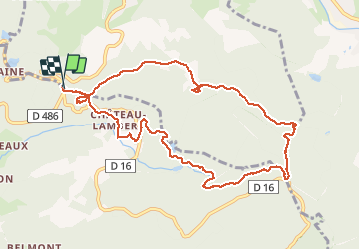


10 km | 14.1 km-effort

User


FREE GPS app for hiking
 SityTrail
IGN / Geographical institutes
SityTrail World
The world is yours!
Trail Walking of 10.5 km to be discovered at Grand Est, Vosges, Le Thillot. This trail is proposed by Bart2015.
Suggestion : démarrer balade par visite des mines. Sinon passer avant 10h.
Belle vue depuis la Vierge des Neiges.
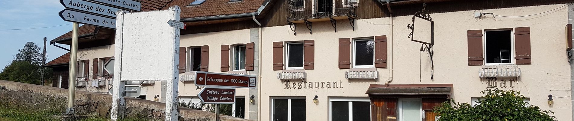
En fin de rando, arrêt conseillé à l'Auberge des Sources à Château-Lambert.
Bonne randonnée


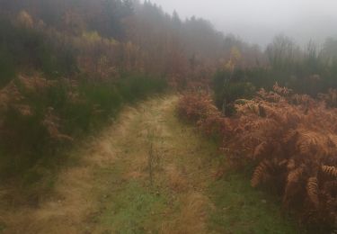
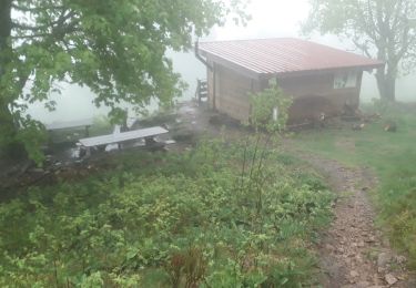
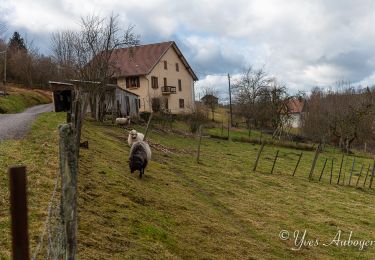
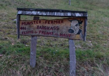
49 photos in total. Please click on a photo to see them all in the gallery.
Walking

Walking

On foot
Walking

Walking
Walking
Walking
Walking
Walking